
The Great Wall was built for defense, but “defense” is only the starting point. Different dynasties used walls, passes, watchtowers, garrisons, and signal systems to manage frontiers, protect routes, control movement, support military logistics, and define political space. It was never just a long stone barrier meant to stop every invasion by itself.
Fast Answer: Why Was the Great Wall Built?
The Great Wall was built mainly to manage and defend northern frontiers, but its job was broader than stopping every invasion. It helped control passes, watch movement, support garrisons, send warnings, protect routes, and mark political boundaries.
| Purpose | How it worked | What visitors can notice |
|---|---|---|
| Defense | Walls, towers, and garrisons slowed raids and shaped military movement. | Watchtowers, ridgelines, and steep stairways. |
| Frontier control | Passes and gates managed who and what moved through key routes. | Fortified passes such as Juyongguan and major gate areas. |
| Warning and logistics | Towers, signals, patrols, and supply routes helped coordinate defense. | Lines of towers placed for visibility across mountains. |
For the people and dynasties behind these systems, read who built the Great Wall. For a visitor-friendly overview, start from Great Wall facts and myths.
Quick planning snapshot
- Best for: travelers who want to understand what they are seeing on the wall.
- Main answer: frontier defense, route control, warning systems, and military administration.
- Travel connection: watchtowers, passes, stairs, and mountain routes make more sense once you know the wall was a system.
It protected northern frontiers
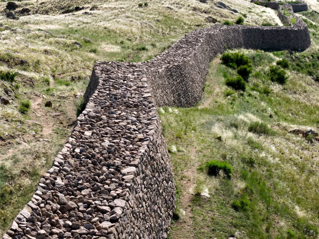
The most common explanation is correct: the Great Wall helped protect northern borders from raids and military pressure. Early states built walls against rival states and northern groups. Qin and Han reorganized frontier defenses on a larger imperial scale. Ming rulers later strengthened walls and passes because northern threats remained strategically important. But the wall was never magic. It worked together with soldiers, patrols, supplies, diplomacy, and local terrain.
It controlled passes and movement
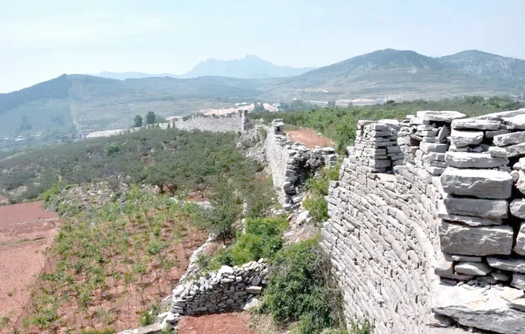
Great Wall passes mattered as much as the wall itself. A pass could control a valley, road, trade route, or military corridor. Juyongguan guarded an important route northwest of Beijing. Shanhaiguan controlled the corridor between the North China Plain and the northeast. Jiayuguan guarded the western end of the Ming wall in the Hexi Corridor. These places show that the wall was about movement: who could pass, where armies could move, and how frontier traffic could be watched.
It created warning and communication lines
Beacon towers and watchtowers allowed defenders to send warnings across long distances. Smoke, fire, flags, and other signals could alert nearby posts of danger. This is why many sections are built along high ridges: elevation gave visibility. When you stand on a tower at Mutianyu or Jinshanling, you are not only looking at scenery. You are standing in a place chosen for surveillance, warning, and communication.
It supported military administration
The wall also helped organize soldiers, supplies, forts, and local defense zones. Garrisons needed food, water, weapons, repairs, and roads. A strong section was not just a wall line; it was part of a managed military landscape. This is especially visible in Ming sections, where walls, towers, passes, and fortresses form a connected system. The site’s Ming Dynasty Great Wall article explains why many famous visitor sections belong to this later defensive network.
It did not always stop invasions
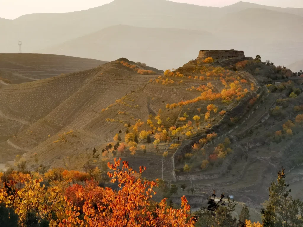
A realistic article should not claim the Great Wall always worked. Walls can slow movement, channel armies into controlled points, and give defenders warning time, but they cannot replace strategy or political stability. At times, attackers crossed, bypassed, bribed, or captured key passes. The wall’s value was strongest when it was maintained, supplied, and integrated with active defense.
What this means for a visit
If you choose Mutianyu, look for how the towers sit on the ridge and control lines of sight. If you choose Badaling, notice the broad pass area and heavy infrastructure. If you choose Laolongtou and Shanhaiguan, focus on route control and the sea-facing endpoint. A Great Wall trip becomes richer when you see each section as a defensive landscape, not just a photo background.
Sources and next reads
For source checks, compare UNESCO World Heritage Centre, Britannica, and China government conservation update. Then read Who Built the Great Wall?, When Was It Built?, and Which Great Wall Sections Are Recommended?.
Why mountains were part of the defense
The wall was often placed where terrain already helped defenders. Mountain ridges, narrow valleys, river crossings, and coastal corridors shaped the route. A high ridge made movement harder for attackers and gave defenders better visibility. A pass forced traffic through a controlled point. This is one reason the wall looks so dramatic in photos: the scenery is not accidental. The landscape was part of the defense design.
Was the wall for trade or against trade?
The wall did not simply block all exchange. Frontier zones could include markets, gates, negotiations, taxation, military control, and seasonal movement. In some periods, states wanted to regulate movement rather than stop every contact. A pass could be a military checkpoint, a symbolic boundary, and a controlled crossing. This is why the Great Wall should be understood as a frontier management system, not just a physical obstacle.
What visitors should notice on site
At Mutianyu, notice the towers and changing slopes: they show how defenders could observe multiple ridges. At Badaling, notice the pass-like geography and heavy visitor infrastructure around a historically important route. At Jinshanling, the longer ridge walking gives a better feeling for signal lines and distance. At Shanhaiguan, the wall’s relationship to the coast and corridor makes the route-control function especially clear.
Bottom line
The Great Wall was built to make frontier defense more manageable. It helped channel movement, warn garrisons, protect strategic corridors, and organize military control. It was strongest when maintained as part of a wider system of soldiers, passes, towers, roads, supplies, and terrain. That is the context visitors should keep in mind at every section.
For trip planning, this also means each wall section should be interpreted through its location: mountain ridges for observation, passes for movement control, and restored scenic areas for modern visitor access.
More Great Wall Facts and Myths
For a wider fact-check path, use the Great Wall Facts and Myths hub. It links the space myth, real length, builders, dynasties, origins, and why the wall was built.